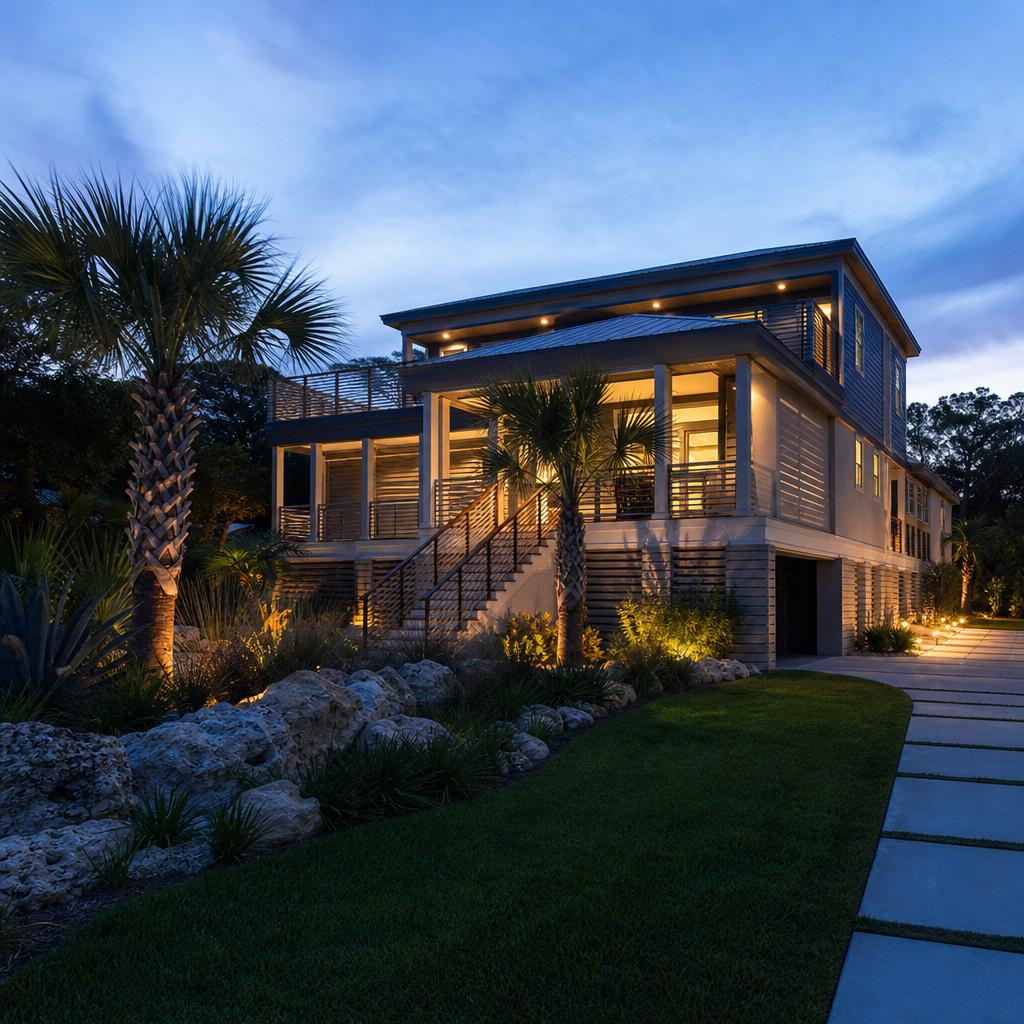
Tampa’s enforcement of floodplain management under the 2023 Florida Building Code, Eighth Edition, and local ordinance requires careful attention to detail in preparing architectural permit plans. Plans for residential structures in A-Zones-Special Flood Hazard Areas as designated by FEMA’s Flood Insurance Rate Maps (FIRM)-must precisely locate and document Base Flood Elevation (BFE), finished floor elevation (FFE), lowest floor elevation (LFE), and grade throughout the full permit set. Plan reviewers commonly redline sets for inconsistent datum, missing FIRM panel data, dimension discrepancies, or insufficient drainage detail. Drawing clarity and rigorous coordination between sheets-site plan, grading, foundation, building sections, and elevations-are critical for compliance and timely permit approval. Tampa Construction Services enforces local amendments that increase minimum elevations and specify freeboard, flood opening configuration, and stormwater management above state code minimums (tampa.gov).
Detailing Base Flood Elevation (BFE) Source, Datum, and FIRM on Tampa Site Plans for A-Zones
BFE Source and Datum Reference Requirements
Building in an A-Zone within Tampa demands rigorous adherence to FBC Section R322.2.1, which requires the BFE to be drawn directly from the effective FIRM for the parcel. For the City of Tampa, this means consulting the most recent FEMA FIRM via the Flood Map Service Center. The BFE on permit plans must match the mapped value for the relevant panel and sub-panel (often AE or A, depending on precise location). Permit applicants must note the FIRM panel number and effective date on every sheet carrying reference to BFE, with typical plan review comments citing: “Panel Number, Flood Zone, and Effective Date must be indicated on the site plan.”
Tampa requires that all flood-related elevations reference the North American Vertical Datum of 1988 (NAVD88). If an older datum such as NGVD29 is referenced (sometimes still present in surveyor bench mark documents), the exact conversion factor must accompany the stated elevation to NAVD88. Incomplete datum referencing is a frequent source of plan review redline; the City of Tampa residential permit checklist (hcfl.gov) emphasizes: “Call out all elevations in NAVD88. If NGVD29 is used on surveys, provide the NAVD88 conversion on each sheet.” Site plans and elevations must both reference the correct datum, and discrepancies trigger comments such as: “Correct elevation to NAVD88 or include accurate conversion factor.”
FIRM Panel Annotation and Flood Zone Call-Outs
The flood zone designation (e.g., “Zone AE”), the FIRM panel number, and the panel’s effective date must appear as a clearly labeled note or block on the site plan along with a graphical depiction of the BFE location as a dashed line coterminous with the building pad and footprint. The precise language seen on redlines is: “Indicate BFE, FIRM Panel and effective date in the site plan legend.” Consistency is required as this annotation will be cross-checked on each sheet referencing flood elevations.
Local Elevation Amendments: Freeboard and LiMWA
City of Tampa Ordinance 2018-109 and local amendments to FBC R322.2.1 require an additional 1’ of freeboard above the mapped BFE for all new construction and substantial improvements-raising the “design flood elevation” to BFE + 1’. Hillsborough County further clarifies: “The lowest floor (including basement) shall be elevated to the higher of: (a) BFE plus one foot freeboard, or (b) the height specified by the Floodplain Administrator” (tampa.gov local amendments).
Where FEMA’s Limit of Moderate Wave Action (LiMWA) crosses a parcel (as depicted on the FIRM), the LiMWA must be graphically represented on the site plan. This line, typically annotated as “LiMWA per FEMA FIRM Panel XXYYYZ effective MM/DD/YYYY,” marks areas where added coastal construction requirements apply. Tampa plan review often returns plans lacking a visible LiMWA with the objection: “Show LiMWA on all applicable flood hazard sheets.”
Standard Site Plan Detailing and Call-Outs
- Title Block: Project address, property legal description, and datum note (e.g., “All elevations referenced to NAVD88”).
- Flood-Related Annotation:
- “Flood Zone: AE” (or as mapped)
- “BFE: 10.0’ NAVD88 per FIRM Panel 12057C0366H, effective 8/28/2008” (example)
- “LiMWA shown, see dashed line on site plan” (if applicable)
- Graphical Demarcations: Dashed lines showing BFE and LiMWA, if present. Spot elevations at key corners of the building pad corresponding to finished grade and finished floor elevations.
Drawing Sheet Pitfalls: Consistency and Review Comments
Common redlines on Tampa residential site plan reviews include:
- “Elevations shown do not match NAVD88-revise and provide conversion factor as needed.”
- “Floodplain data, including BFE and FIRM panel, missing from site plan legend.”
- “Finished Floor Elevation does not achieve BFE +1’ required by local amendment-revise.”
- “LiMWA not shown-verify if portion of site is in Coastal A Zone.”
Dimensioning Lowest Floor Elevation (LFE) & Freeboard on Foundation Plans and Sections
BFE, DFE, and LFE: Interrelationships and Sheet Requirements
The LFE is the controlling elevation for floodplain compliance in Tampa’s A-Zones. Under FBC 2023 R322.2.1 and Tampa local amendment, for AE zones “the lowest floor, including basement, must be at or above the elevation of BFE plus 1’ freeboard, unless a higher benchmark is designated by Tampa’s Floodplain Administrator.” On foundation plans, every call-out of the lowest floor or slab elevation must directly reference the mapped BFE and show the arithmetic explicitly (e.g., “BFE = 10.0’ NAVD88, LFE = 11.0’ NAVD88 (BFE + 1’)”). This calculation is often required in a boxed note or keynotes area-reviewers routinely mark “Show both BFE and LFE on all foundation and section drawings. Explicitly state freeboard in NAVD88.”
Failing to reference the specific flood hazard area and show these calculations results in immediate redline. Foundation sheets must note both the mapped BFE and proposed LFE in both plan and section views.
Building Section Detailing: Vertical Alignment and Dimensioning
- Section Cuts: Show grade, BFE (as a dashed horizontal line), and lowest floor-dimensioned relative to NAVD88. Example section label: “Grade: 8.3’ NAVD88, BFE: 10.0’, FFE: 11.0’ NAVD88 (BFE + 1’)”.
- Elevations: Foundation top, finished floor, sill, and all major references to be dimensioned and tagged to NAVD88. The tags must match those on the site and grading sheets.
- Key Plan Note Example: “Lowest Floor Elevation (FFE): 11.0’ NAVD88 per FBC R322.2.1 & Tampa Ord. 2018-109 (BFE 10.0’ NAVD88 +1’ freeboard).”
Flood-Resistant Materials Below DFE
FBC and local code require that any portion of the structure below the design flood elevation (DFE) utilize flood-damage-resistant materials as defined in ASCE 24 and listed in FEMA Technical Bulletin 2 (FEMA TB2). On foundation and wall sections, call out “Flood resistant material below DFE per FBC R322.1.8”-usually reiterated in material specs and legend notes. Plan reviewers return plans with: “Specify flood-resistant materials on wall sections and schedules below DFE.”
Enclosure Requirements and Flood Venting
For crawlspaces (enclosures below BFE/DFE) used for parking, storage, or building access, the plans must dimension the inside elevation of the enclosure slab or crawlspace grade and show it remains at or above the highest adjacent finished exterior grade. All such areas below BFE must be identified on plans and sections with call-outs (e.g., “Enclosed area below BFE: see Flood Vent Schedule and Venting Details, Sheet S-4”).
Flood Opening Schedules on Foundation Sheets
Flood opening (vent) calculation tables must appear on foundation plans (see detailed requirements below) indicating total net open area provided and locations. Call-outs must directly reference FBC R322.2.2 and Hillsborough County local amendments.
Frequent Plan-Review Comments
- “Provide LFE on both plan and section as NAVD88 value.”
- “Elevation at top of slab is below required BFE plus freeboard-revise.”
- “Flood opening calculation missing or not matching enclosed area-show on plans.”
- “Crawlspace finish elevation lower than exterior grade-noncompliant per FBC R322.2.2.1.”
Grading Plans and Positive Drainage for Elevated Structures in Flat A-Zones
Minimum Drainage Slope and Grading Call-Outs
According to IRC R401.3, surface drainage must “direct water away from foundation walls,” with site grading providing a minimum slope of 6 inches over the first 10 feet away from the structure (a 5% slope). On most residential lots in Tampa’s flat A-Zones, achieving this slope may require minor build-up at the building pad perimeter and/or integration of swales and drains. Plan reviewers typically mark: “Demonstrate minimum 6” drop in 10’ from foundation per IRC R401.3.”
Site and grading sheets must show both existing and proposed contours, with dashed lines for existing and solid lines for proposed. Where swales are needed due to topographic constraints or setbacks, grading details (including cross-section call-outs) are required. Swales must be dimensioned with a minimum 2% slope and detailed with labeled spot elevations at inlet and outlet (“Swale Slope: 2% min, Invert = 7.2’ NAVD88, Outlet = 7.0’ NAVD88”).
Stormwater Management and Local Impervious Area Limits
Tampa’s Stormwater Technical Standards Manual restricts maximum lot coverage based on zoning-for example, RS-60 (“Residential Single-Family”) typically allows up to 50% impervious surface. Exceeding lot coverage limits triggers an additional permit process for stormwater mitigation, and plans must show stormwater management facilities-such as rain gardens, dry wells, or engineered surface drains-dimensioned and annotated “per City of Tampa Stormwater Technical Standards.” Notes seen on grading plan reviews: “Demonstrate stormwater management for all impervious areas exceeding 40% coverage per district standards.”
Critical Grading Plan Drawing Conventions
- Title Block and Legend: Clearly state project, scale, and list elevation benchmarks (NAVD88).
- Contour Lines: Existing (dashed) and proposed (solid), labeled at 0.5’ intervals (minimum).
- Spot Elevations: At building corners, property lines, low points, high points, bottom and top of swales, catch basins.
- Drainage Arrows: Heavy leader lines showing flow direction.
- Details: Swale cross-sections (“See Section 1/GP2”), details for sediment control, drain inlet protection, and typical erosion measures.
Grading and Drainage Material Specifications
- Backfill Material: Well-graded granular fill (ASTM D2321), compacted to 95% Standard Proctor.
- Drainage Pipes: ASTM D3034 PVC SDR 35 minimum 4” for foundation perimeter drains.
- Erosion Control: Silt fence (ASTM 6707), erosion control blankets for slopes >3:1, turf reinforcement mats in swales.
- Swale Slopes: Minimum 2%. Swales must be a minimum of 1’ deep and 18” wide for residential drainage between lots, unless otherwise required by site engineer or code.
Typical Plan-Review Redlines and Sheet Errors
- “Insufficient spot elevations-add at all building corners and drainage structures.”
- “Drainage arrows missing or unclear-clarify grade and stormwater flow.”
- “Show inlet protection at catch basins per City of Tampa detail SW-401.”
- “Demonstrate positive drainage via swale or subdrain if 6”/10’ not possible.”
Specifying and Locating Flood Vents/Openings for Enclosed Areas Below BFE
Code-Mandated Flood Opening Quantity and Placement
Flood openings are required for every enclosed area below DFE/BFE solely used for parking, storage, or access. Under FBC R322.2.2 and local amendments, “enclosed areas shall have a minimum of two flood openings on at least two different sides of each enclosure.” The openings’ bottom edge “shall be no more than 1’ above the higher of the final interior grade or finished exterior grade adjacent to the opening.” Each opening must be at least 3” in any direction and must provide a total net open area of “1 square inch per square foot of enclosed area”-or, if engineered flood vents are used, per manufacturer’s rating and ICC-ES listing (FBC R322.2.2).
Allowable uses for enclosed space are strictly limited. Per City of Tampa local amendment (Municode Sec. 5-121): “Enclosed space below the DFE is limited to parking, access, or storage not exceeding 100 sq. ft. and one dimension 6’ max, or for access stairs/ramps/elevators.”
Foundation and Elevation Drawing Documentation
- Flood Vent Schedule/Table: Tabulate the total enclosed area (area below DFE), number and dimensions of proposed flood vents, total net open area, required net open area (area x 1 sq in/sq ft), and indicate “Type: engineered/non-engineered, ICC-ESR # if applicable.”
- Plan Call-Outs: “Flood Vent (Type: ICC-ESR #XXXXX), 16” x 8”, net open area: 128 sq in each, installed max 12” above finished grade. See S-4.”
- Elevation View Call-Outs: Symbol and note at each vent location showing “Flood opening, top elevation 10.8’ NAVD88, bottom 10.0’ NAVD88, per FBC R322.2.2.1.”
- Section Details: Detail showing vent installed through wall, showing sleeve/cover materials (flood-resistant), and screen if specified. Keynote references: “Flood vent frame and cover, Type 316 SS/Aluminum; mesh (if used) 1/2” max aperture.”
- Flood Opening General Notes: “Flood openings sized and located per FBC R322.2.2 and FEMA TB1. Enclosed area below BFE for storage and access only-no partition walls or mechanical equipment installed below BFE. All materials below BFE to be flood damage-resistant per FBC R322.1.8.”
Common Plan-Review Redlines
- “Flood opening net area calculation missing-show required and provided on plans.”
- “Openings not located on two opposite walls, as required.”
- “Bottom of vent higher than 1’ above adjacent finished grade-lower or revise detail.”
- “Storage space below DFE exceeds 100 sq. ft. or exceeds allowable dimension-reduce/storage must comply.”
Cross-Referencing and Coordinating BFE, LFE, and Grade Data Across Tampa Permit Sets
Consistency in Elevation Call-Outs Across Sheets
The City of Tampa’s residential plan review team routinely cross-checks elevation data between site plan, grading plan, foundation plan, and elevations. Under FBC R322.1.4, plan sets must have elevation certificates completed by a Florida-licensed surveyor at key construction stages. However, the most common source of permit delays is discrepancies between BFE, LFE/FFE, and grade elevations as dimensioned on different sheets.
Typical redline language includes: “Elevation data inconsistencies noted between site plan and foundation plan. Please reconcile all elevation references to ensure uniformity.” All spot elevations and dimensioned call-outs referencing BFE, DFE, FFE, or LFE must match exactly in both value and datum citation. Differences as small as 0.1’ can result in full plan rejection.
Sheet-to-Sheet Cross-Referencing Protocols
- Site Plan: “BFE = 10.0’ NAVD88 (FIRM Panel …, eff. 8/28/2008). FFE/Top of Slab = 11.0’ NAVD88. See Sheet S-3 for foundation section.”
- Foundation Plan: “Top of foundation wall at 11.0’ NAVD88 (FFE per BFE + 1’ freeboard). See Site Plan for BFE reference.”
- Building Section: “Lowest floor at 11.0’ NAVD88. Grade at 8.3’ NAVD88. BFE dashed at 10.0’. (See S-3).”
- Grading Plan: All spot elevations and slopes match the FFE and site datum, referenced back to NAVD88.
- Elevation Sheets: Vertical dimensions from FFE down to grade, all tagged as NAVD88 and cross-referenced to both site and foundation sheets.
Typical Elevation-Related Review Comments
- “Proposed FFE on elevations does not match shown on foundation plan or grading plan-correct across all sheets.”
- “NGVD29 datum used on grading plan, but NAVD88 on site/foundation-must unify datum and include conversion.”
- “Elevation certificate not provided or does not match FFE on plans-submit updated certificate.”
Material and Design Requirements Linked to BFE/LFE Coordination
- Flood-Resistant Materials: Explicit call-out on all sheets wherever construction occurs below DFE.
- Foundation Reinforcement: Details for resisting flood loads, flotation, collapse, and lateral movement, referenced on both foundation and elevation sheets. Materials must comply with ASTM and FBC R322.2.2.
Remedies and QA/QC for Plan Coordination
Successful sets use master keyed notes (“see key note 1-elevations per NAVD88, reference throughout set”) and sheet cross-references that hyperlink or refer by sheet number and grid. Many permit drafters create an “Elevation Control Table” on the G-sheet or cover, summarizing all key elevations in NAVD88. Reviewers report plans that use this device rarely trigger BFE/LFE inconsistency comments.
Plan sets achieving clear, consistent, and cross-referenced elevation data for BFE, grade, LFE, and FFE across all sheets-and detailing positive drainage, venting, and flood-resistant assembly-are readily processed and passed by Tampa Construction Services permit review.
Where accuracy, code coordination, and thorough documentation of floodplain details are crucial, Kingsway Drafting & Design delivers drawn precision and compliance acumen that keep projects moving forward.